Top locations
Highest concentrations on this view
Loading locations…
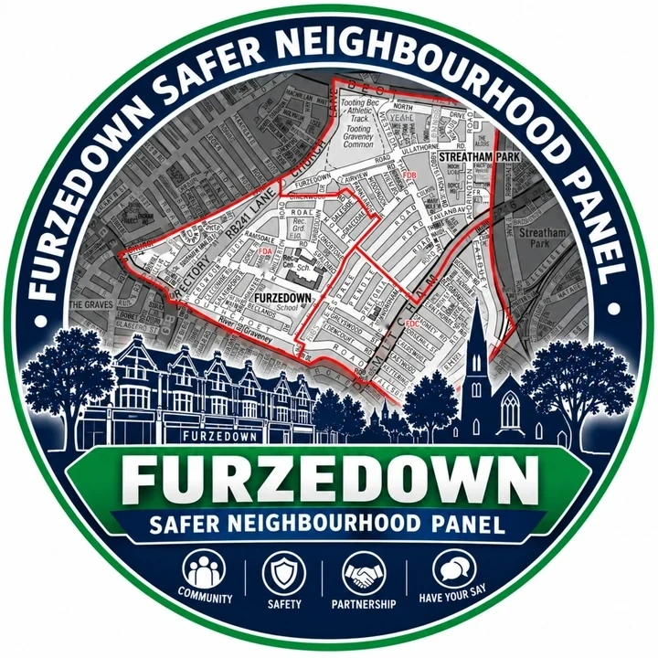
Furzedown Safer Neighbourhood Panel
Explore the latest published street-level crime data for the Furzedown policing neighbourhood. Hotspots show approximate, anonymised locations rather than exact addresses.
Latest published crime map
The map updates from Police.uk data and lets you filter by month and crime category.
Top locations
Loading locations…
Put the map in context
Use the Community Safety page for Furzedown priorities, trend information, resident concerns and partnership updates.